Licensed & Insured Heavy Mountain Equipment Dispatch in Toe River Valley
WNC Excavating
WNC Heavy Excavation Background
Toe River Valley 2,700' – 3,500'+

Toe River Valley Regional Service Corridor & Equipment Dispatch

Dedicated heavy equipment dispatch and certified operators across Yancey, Mitchell, Avery. Engineered site prep, driveway cut-ins, rock breaking, and stormwater control throughout Spruce Pine & Burnsville.

Corridor Conditions: Green Valley mica schist, pegmatite mineral belt, quartz ledge, abrasive feldspar seams, thin rocky topsoils.
Yancey, Mitchell, Avery Permanent Direct Dispatch
Geotechnical Engineering

Geotechnical Profile & Machinery Fleet: Toe River Valley

Soil & Bedrock Geology

Green Valley mica schist, pegmatite mineral belt, quartz ledge, abrasive feldspar seams, thin rocky topsoils.

Elevation Range

2,700' – 3,500'+

Counties Covered

Yancey, Mitchell, Avery

Deployed Heavy Machinery Fleet

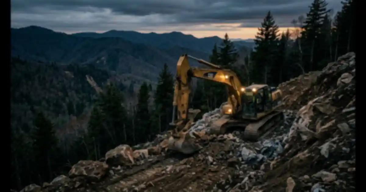
200HP dedicated forestry mulchers with carbide teeth, 20-ton excavators with severe-duty rock buckets and percussion hammers, heavy logging-road dozers.

Strategy 1 Nested Corridor Architecture

Excavation Services Across Toe River Valley Corridor

Earthwork methodologies engineered specifically for Toe River Valley geology and elevation (2,700' – 3,500'+).

01 Toe River Valley

Pegmatite Belt Foundation Pad Grading

Pegmatite Belt Foundation Pad Grading

Shattering quartz and feldspar cores with hydraulic breakers while cutting stepped building terraces at safe 1.5:1 ratios in Spruce Pine micaceous saprolite.

02 Toe River Valley

Mica Subgrade Bridging & Road Grading

Mica Subgrade Bridging & Road Grading

Pinning high-tensile woven geotextile fabric over slick colloidal mica soils, topped with 6 to 8 inches of fractured ballast stone to stop gravel sinking.

03 Toe River Valley

Micaceous Slope Stabilization & Benching

Micaceous Slope Stabilization & Benching

Excavating stepped terraces with gentle 1.5:1 cut-slopes and deep curtain drains to isolate building shelves from slick subterranean mica slip planes.

04 Toe River Valley

Silt-Proof Curtain Drainage & Culverts

Silt-Proof Curtain Drainage & Culverts

Trenching non-woven geotextile wrapped French drains bedded in washed #57 stone to capture groundwater before it liquefies fragile micaceous soils.

05 Toe River Valley

Low-Impact Valley Clearing & Root Extraction

Low-Impact Valley Clearing & Root Extraction

Selective timber felling and tracked mulching on steep North Toe River slopes, extracting roots with grapples to avoid shearing soft saprolite beds.

06 Toe River Valley

Quartz & Feldspar Utility Corridor Trenching

Quartz & Feldspar Utility Corridor Trenching

Fracturing ultra-hard pegmatite ribs with 4,500 ft-lb hydraulic breakers to trench domestic water feeds and underground electrical lines safely.

Municipal Hubs & Communities Served in Toe River Valley

🗺️ Western North Carolina Regional Service Corridors & Equipment Dispatch
Hover to inspect • Click corridor to view local services Tap any corridor to view local excavation services
Cherokee County (Far West / Smokies) Clay County (Far West / Smokies) Graham County (Far West / Smokies) Swain County (Far West / Smokies) Macon County (Central West / Tuckasegee) Jackson County (Central West / Tuckasegee) Haywood County (Central West / Tuckasegee) Transylvania County (Southern Plateau & French Broad) Henderson County (Southern Plateau & French Broad) Polk County (Southern Plateau & French Broad) Buncombe County (Metro Asheville & North French Broad) Madison County (Metro Asheville & North French Broad) Yancey County (Toe River Valley & Mining Belt) Mitchell County (Toe River Valley & Mining Belt) Avery County (Toe River Valley & Mining Belt) Watauga County (High Country & Yadkin Valley) Ashe County (High Country & Yadkin Valley) Alleghany County (High Country & Yadkin Valley) Wilkes County (High Country & Yadkin Valley) Mcdowell County (East Foothills & South Mountain) Rutherford County (East Foothills & South Mountain) Burke County (East Foothills & South Mountain) Caldwell County (East Foothills & South Mountain)
🧮 WNC Mountain Pricing Engine

Instant Mountain Excavation & Driveway Cost Estimator

Calibrated for steep Appalachian grades, Cecil red clay subgrade, and granite bedrock across Western NC.

Driveway Length (Linear Feet) 350 Linear Ft
100 ft (Short Spur) 750 ft (Mountain Switchback) 1,500 ft (Long Ridge Access)
🟢 Gentle Grade (<10%)

Valley bottom or gentle plateau. Standard excavation baseline.

🟡 Moderate Ridge (10–25%)

Tracked machinery required with switchback cut-ins.

🔴 Steep Slope / Rock (+35%)

Steep hillside benching & hydraulic hammer rock breaking.

Estimated Ballpark Range
$4,200 – $6,500

Includes heavy equipment mobilization, aggregate delivery, and grade stabilization.

Send Itemized Estimate via SMS & Lock In Rates

Enter your name and phone number to get an itemized estimate sent via SMS and locked in with our on-call corridor specialists.

🔒 Zero Spam Guarantee • Direct SMS Confirmation • Vetted Local Crews
Direct Equipment Dispatch

Request On-Site Estimate

Submit project details across Toe River Valley or speak directly with local dispatch: (828) 376-8941.

Call: (828) 376-8941
REGIONAL GEOLOGY & ADAPTATION HISTORY

Geological History & Terrain Adaptation in Toe River Valley Corridor (Mitchell, Yancey, Avery)

The Toe River Valley is world-famous for the Spruce Pine Pegmatite Belt, formed ~380 million years ago during the Acadian orogeny. Massive pegmatite intrusions created the planet's purest deposits of quartz (the foundation of global semiconductor chip manufacturing), feldspar, and sheet mica. Early Cherokee and 19th-century miners quarried mica, while modern tech relies on Spruce Pine quartz. For excavation operators, decomposed pegmatite creates slick, low-cohesion micaceous saprolite prone to catastrophic slope shear when wet. Heavy equipment contractors must cut slopes to conservative 1.5:1 ratios, shatter hard alaskite bedrock with hydraulic hammers, and encapsulate subgrades with geotextile.